Drive times to plan around
| From | To | Typical time |
|---|
| Līhuʻe airport (LIH) | Poʻipū | 25 min |
| Līhuʻe airport | Kapaʻa | 20 min |
| Līhuʻe airport | Princeville / Hanalei | 55 to 70 min |
| Poʻipū | Port Allen (Nā Pali raft) | 25 min |
| Poʻipū | Kikiaola Harbor, Kekaha (Nā Pali boat) | 45 min |
| Kapaʻa | Kikiaola Harbor, Kekaha | 75 min |
| Princeville | Port Allen | 90 min |
| Princeville | Kikiaola Harbor, Kekaha | 1 hr 50 min |
| Princeville | Hanalei Bay (summer Nā Pali boat) | 10 min |
| Waimea town | Waimea Canyon lookouts | 35 to 45 min |
You need a car on Kauai. There is a county bus, but it does not reach the harbors at dawn or the trailheads. Traffic bunches up at Kapaʻa on the east side and at the one-lane bridges past Hanalei; add 15 minutes to anything that crosses either in the morning or late afternoon. Hāʻena State Park, at the end of the north-shore road, requires an advance reservation for parking and entry.
Sunny, dry, closest to the cliffs
The West Side: Kekaha, Waimea and Hanapēpē
Year-round Nā Pali boatsKikiaola Harbor, KekahaWaimea Canyon road
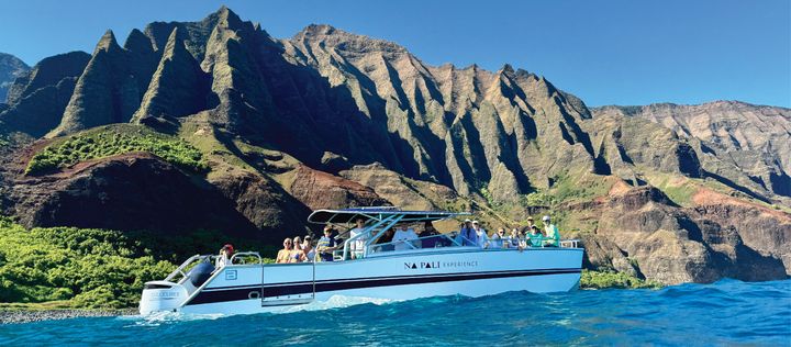
The west side is the lee of the island: the driest weather, the calmest water and the shortest boat run to the Nā Pali Coast. Kikiaola Small Boat Harbor at Kekaha is the last harbor before the cliffs and the home of the power catamaran we recommend; the rafts leave from Port Allen a little farther east. Waimea is the old plantation town where Captain Cook landed in 1778, with a couple of good plate-lunch spots and the start of the road up Waimea Canyon. Hanapēpē is the art town with the swinging bridge and Friday night galleries.
Few visitors stay out here, which is the appeal: a handful of cottages and the Waimea Plantation Cottages. If you are doing both the canyon and a 7 am boat, a night in Waimea saves a very early drive.
The big harbor
Port Allen and ʻEleʻele
Most Nā Pali boats leave here4353 Waialo Rd25 min from Poʻipū
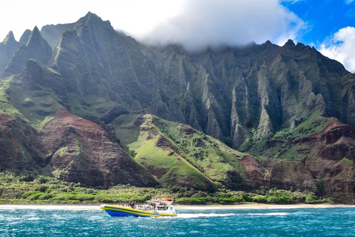
Port Allen is the working harbor on the south-west coast where most of the island's Nā Pali fleet ties up: the big catamarans, the sunset dinner sails and the rigid-hull rafts. The marina center has the check-in offices, restrooms and a coffee shop, and the harbor is a 25-minute drive from the Poʻipū resorts, which is why the south shore is the most practical base for boat days. The run to the cliffs from here is a little over an hour each way.
Where to stay for sun
The South Shore: Poʻipū and Kōloa
Resorts and condosCalm swimming year roundZipline 5 min away
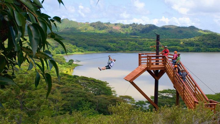
Poʻipū is the resort coast: the Grand Hyatt, the Sheraton, the Kōloa Landing and a mile of condos along a shore with the island's most reliable swimming beaches. It is sunny when Hanalei is raining, calm when the north shore is closing out in winter, and 25 minutes from the Port Allen boats. Kōloa, the old sugar town just inland, has the shops and the zipline. Spouting Horn, Allerton Garden and the Māhāʻulepū coastal trail are all within ten minutes.
The trade-off is distance from the north shore: Hanalei is 90 minutes, so plan the north-shore day as a full day.
The hub
Līhuʻe, Kalapaki and Nawiliwili
Airport and cruise portHelicopters and tubingCentre of the island
Līhuʻe is the county seat, the airport and the practical middle of Kauai. Every helicopter tour on the island leaves from the airport, the mountain tubing base is five minutes north in Hanamāʻulu, and Kalapaki Beach by the Marriott is a sheltered bay good for beginner surfing. Nawiliwili is the harbor where the cruise ships dock. Hotels here are fewer and cheaper than the resorts, and everything on the island is within 90 minutes.
The Coconut Coast
The East Side: Kapaʻa and Wailua
Mid-priced condos and hotelsWailua RiverCoastal bike path
Kapaʻa and Wailua are the windward middle of the island: trade winds, a long run of condos and small hotels, the Wailua River with its kayak tours and the Fern Grotto, and a paved coastal path for bikes from Lydgate to Kealia. It is the most central place to stay, 20 minutes from the airport, 50 from Hanalei and 45 from Poʻipū, with the best mix of restaurants and food trucks on the island. The beaches here are better for walking than swimming; the sheltered pools at Lydgate are the exception.
The green end
The North Shore: Hanalei, Princeville and Hāʻena
Hanalei Bay, Tunnels, KēʻēNā Pali boats March to DecemberBig surf in winter
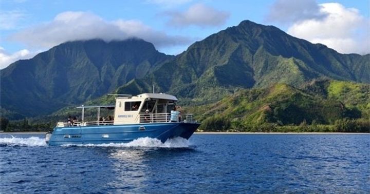
The north shore is the Kauai of the postcards: Hanalei Bay under its wall of waterfall mountains, the taro fields, the one-lane bridges, Tunnels reef and the end of the road at Kēʻē, where the Kalalau Trail begins. Princeville is the resort on the bluff, with the 1 Hotel and the St. Regis-era condos; Hanalei is the town with the surf shops and the pier. The summer Nā Pali catamaran loads from the beach at Hanalei and reaches the cliffs in 15 minutes.
Two cautions. It rains more here than anywhere else on the island, which is why it is green. And from about November to March the surf is big and the bay is closed to tour boats; swim at ʻAnini or go to the south shore on those days. Hāʻena State Park needs an advance reservation.
No road
The Nā Pali Coast and the interior
17 miles of cliffsBoat, helicopter or the Kalalau TrailWaiʻaleʻale: 450 inches of rain a year
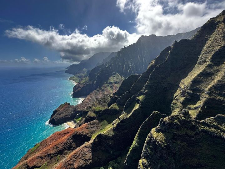
The north-west quarter of the island is cliffs: 17 miles of them between Kēʻē and Polihale, up to 3,000 feet, cut by hanging valleys and sea caves. No road reaches it. You see it by boat from Kekaha, Port Allen or Hanalei, by helicopter from Līhuʻe, or on foot along the 11-mile Kalalau Trail with a camping permit. Behind the cliffs is the interior: Waimea Canyon on the dry side, the Alakaʻi swamp on top, and Waiʻaleʻale, the extinct volcano at the centre whose summit is one of the wettest places on earth. The helicopter is the only way to see its crater.