Waimea Canyon is ten miles long, a mile wide and about 3,000 feet deep, cut red and green by the Waimea River on the dry side of the island. Mark Twain is said to have called it the Grand Canyon of the Pacific; whether he did or not, the comparison holds, with the difference that this one has waterfalls on its walls and ends at a view down into Kalalau Valley and the Nā Pali cliffs.
It takes a morning. Here is how to do it so the clouds do not beat you to the top.
The one rule: go early
The canyon sits on the west side, which is dry, but the top of the road is Kōkeʻe, at 4,000 feet, where the clouds from Waiʻaleʻale drift in by late morning. The Kalalau lookout at the end is often clear at 9 am and a white wall by 11. Leave Poʻipū by 7:30, Līhuʻe by 7, Kapaʻa by 6:45. If you are also doing the Nā Pali boat from Kekaha, take the afternoon boat and do the canyon first; the harbor is ten minutes from the bottom of the canyon road.
The road
From Waimea town take Waimea Canyon Drive (Highway 550), which climbs through the dry hills with the canyon opening on your right. Kōkeʻe Road from Kekaha joins it part-way up; either works. The road is paved and winding, 18 miles to the top, 40 to 45 minutes without stops. State park entry and parking are charged per vehicle and per non-resident visitor at the lookouts; bring a card.
The lookouts, in order
- Waimea Canyon Lookout (mile 10). The classic view down the length of the canyon, with Waipoʻo Falls across the gorge. The first and busiest stop. Mornings are backlit; the colors are better after 9.
- Puʻu Hinahina Lookout (mile 13). Two viewpoints: one down the lower canyon to the ocean, one west to Niʻihau on a clear day. Less crowded and arguably the better canyon view.
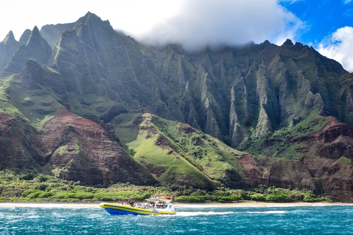
- Kalalau Lookout (mile 18). The reason to go to the top: 4,000 feet straight down into Kalalau Valley, the biggest valley on the Nā Pali Coast, with the beach at the bottom and the cliffs to either side. Clouds come and go; wait ten minutes if it is white.
- Puʻu o Kila Lookout (end of the road). A mile past Kalalau, the same valley from a slightly different angle and the start of the Pihea Trail along the rim. Usually quieter.
The hikes worth doing
- Cliff Trail and Canyon Trail to Waipoʻo Falls. From the Halemanu Road turnoff near mile 14. The Cliff Trail is a short walk to a canyon-edge viewpoint; the Canyon Trail continues about 1.8 miles each way to the top of Waipoʻo Falls, where you can sit in the stream above the drop. Muddy, with some scrambling, about three hours round trip.
- Pihea Trail. From Puʻu o Kila along the rim of Kalalau Valley, with views down into it for the first mile, then into the Alakaʻi Swamp on boardwalks. Go as far as you like and turn around; the full route to the Kilohana lookout is a wet, slippery all-day effort.
- Awaʻawapuhi Trail. Three miles each way through forest to a knife-edge ridge 2,500 feet above the Nā Pali Coast. The best view-per-mile hike on the island, and a long climb back. Start early, take water.
Kōkeʻe State Park has a small natural history museum and a lodge that serves lunch, the only food on the mountain.
What to bring
A layer; it is 15 to 20 degrees cooler at the top than at the beach, and windy at the lookouts. Water and snacks; there is nothing between Waimea and the Kōkeʻe lodge. Shoes that can get muddy if you hike. A full tank; the last gas is in Waimea.
Pairing it with the rest of the day
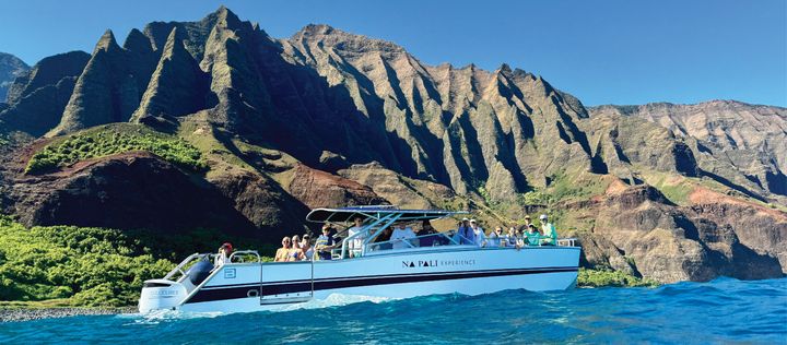
The canyon road starts in Waimea, ten minutes from Kikiaola Harbor in Kekaha where the year-round Nā Pali boat leaves. The best west-side day on the island is the canyon lookouts by 10, lunch in Waimea, and the afternoon Nā Pali departure. Or the morning boat and the canyon after, accepting that the Kalalau lookout may be clouded in. Salt Pond Beach in Hanapēpē is the swim on the way home.
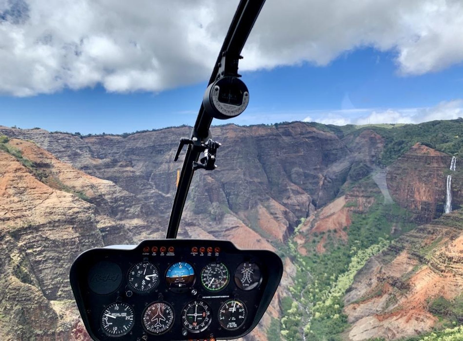
The canyon and the Nā Pali cliffs are also the first half of the helicopter tour, which sees the parts of the canyon no road reaches. For the whole week, see the 5-day itinerary.
Written by Kauai locals who spend their days on the water and the trails. How we make money.